


Self-Guided Walk Library
Here are a series of self-guided walks by some of the Group’s walk leaders which have just been published. While you are unable to join guided walks why not get out and walk anyway. Each walk listed below has a map and also details that include a route description and GPX file (for a GPS or Smartphone/mapping app) for those who use that technology.
Why not download a mapping app (View Ranger and OS Maps offer a free trial) and give it a try on one of these walks? A GPS or mapping app offers an excellent navigation aid. Alternatively, use the traditional map and compass method.
Why not download a mapping app (View Ranger and OS Maps offer a free trial) and give it a try on one of these walks? A GPS or mapping app offers an excellent navigation aid. Alternatively, use the traditional map and compass method.
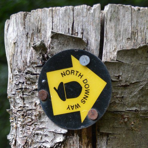
Penenden Heath - North Downs Way and Boxley - 9 miles
Linton Park - Linton Park and Bourton Monchelsea Deer Park - 4.5 miles
Shoreham - Otford - Darenth Valley path - Shoreham Village - 5.5 miles
The Medway at West Farleigh - Teston Bridge Country Park - West Farleigh and by the Medway - 5 miles
If you have any comments at all regarding these self-guided walks, or just want to say you enjoyed them, please use this email link: